
Charlotte Vye-Brown and Julia Crummy visited Tanzania as
part of the work toward delivering the volcano input to the Global Assessment
Report (GAR) for the United Nations International Strategy on Disaster Reduction
(UNISDR).
Here are some of their favorite snaps from the trip:
"The GAR is a biennial report from the UN ISDR that
synthesises information on disasters from natural hazards. The GAR has never
before considered volcanic hazards, so this is a great opportunity to draw
attention to volcanic hazards and risks and the needs of volcano observatories
worldwide. The GAR contributes to achieving the Hyogo Framework of Action (HFA)
through monitoring risk patterns and trends and progress in disaster risk
reduction while providing strategic policy guidance to countries and the
international community. The GAR aims to help focus international attention on
the problem and need to address disaster risk and consolidate political and
economic support to disaster risk reduction." See their website for more details......http://www.preventionweb.net/english/hyogo/gar/2013/en/home/index.html
Here are some of their favorite snaps from the trip:
 |
| Typical Tanzanian life |
 |
| The streets of the town of Arusha, on the lower flanks of Mt Meru |
 |
| The streets of the town of Arusha, on the lower flanks of Mt Meru |
 |
| Village on the flanks on Mt Meru (which last erupted in 1910) |
 |
| Giraffes and buffalo live on the flanks of Mt Meru in the National Park. Many tourists come on safari here. Kilimanjaro is just visible in the background. |
 |
| Looking east along the debris avalanche deposit from Mt Meru. Massive blocks within these deposits forming characteristically hummocky topography. Around 7000 years ago, the eastern flank of the volcano collapsed resulting in this deposit. It is one of the largest debris avalanche deposits in the world. |
 |
| Giraffes grazing with Mt Meru in the background |
 |
| Flamingos thrive in the lakes which formed in the hummocky topography of he debris avalanche deposit |
 |
| Road section revealing the explosive history of Mt Meru. Layers of pumice-fall and reworked pyroclastic flow deposits are exposed on the western flanks of the volcano. |
 |
| Ravine exposing more ash-rich fall and reworked deposits, and pumice-fall deposits. Villagers go about their business while we work |
 |
| Children herding goats act as a scale for pumice-rich fall, and reworked deposits |
 |
| Villagers going about their daily business at the foot of Mt Meru |
 |
| Children on their way home from school |
 |
| Typical scene in Arusha with Mt Meru in the background |
 |
| Morning traffic in the town of Arusha, on the flanks of Mt Meru |
 |
| Village at the foot of Mt Meru |
 |
| Village at the foot of Mt Meru |
 |
| Mt Meru crater wall comprising interbedded lava flows and fall deposits |
 |
| The cone where the most recent activity occurred from. Since the collapse of the eastern flank of the volcano ~7000 years ago, lava flows and ash fall have built up this cone in the crater of Mt Meru. |
 |
| Julia collecting pumice clasts for dating. The ages of these deposits are unknown |
 |
| A village on the western flanks of Mt Meru where we were collecting pumice samples. This village is about 8km from the summit |
 |
| Collecting pumice from a huge explosive eruption. This deposit is at least 2.7m thick – we couldn’t see the base. This is 10km from the vent. The age of this eruption is unknown |
 |
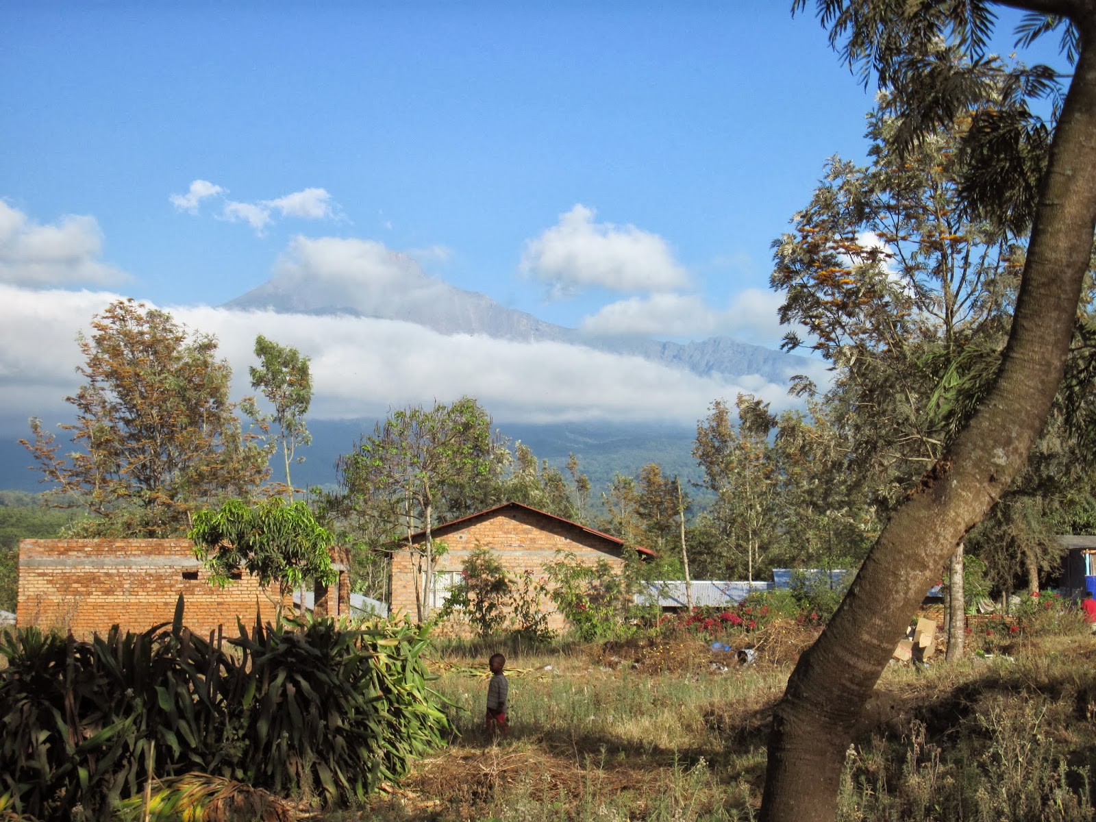
| Many towns and villages lie on the lower flanks of Mt Meru, with the volcano looming over them |
 |
| Collecting firewood |
Comments