Dr Charlotte Vye-Brown, BGS volcanologist, is packing her bags ready for Ascension Island fieldwork next fortnight. Here she explains what she'll be doing, why it's important and also how you can follow their work during the trip! ...
 |
| Ascension Island viewed from the south; the island is approximately 91 square km. Wikipedia CC BY-SA 3.0 |
To explore this question I'm travelling to Ascension with partners from the Universities of East Anglia, Durham and The Scottish Universities Environmental Research Centre (SUERC) on a Leverhulme-funded research project.
We will investigate the sub-surface processes that have controlled the style, size and frequency of volcanic eruptions over time and establish the frequency-magnitude distribution of past eruptions. This detailed study will enable BGS to establish the threat from volcanic eruptions, consider what an appropriate volcano monitoring network on Ascension might look like and inform long-term planning decisions.
 |
| Ascension Island Comfortless Cove. Wikipedia CC BY 2.0 |
[a] collect new samples for age dating to identify: (i) the timescales on which eruptions have occurred and (ii) the timescales over which processes generating magma have occurred.
[b] examine the cause and effect of magmatic processes by using the dating results, geochemistry, and field data.
[c] assess current volcanic threat on the basis of new data and discuss with local and UK decision-makers.
 |
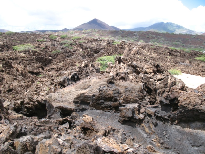
| Ascension Island Lava fields. Wikipedia CC BY 2.0 |
This project builds on recent work at another UK Overseas Territory Tristan da Cunha by BUFI student Anna Hicks:
Hicks, A. Barclay, J., Simmons, P. and Loughlin, S. 2013. An interdisciplinary approach to volcanic risk reduction under conditions of uncertainty: a case study of Tristan da Cunha. Nat. Hazards Earth Syst. Sci. Discuss., 1, 7779-7820.
Hicks, A., Barclay, J., Mark, D. F., and Loughlin, S. 2012. Tristan da Cunha: Constraining eruptive behavior using the 40Ar/39Ar dating technique, Geology, 40, 723–726, doi:10.1130/G33059.1.
Charlotte


Comments